Kisima, Kilimanjaro
Ward in Same District, Kilimanjaro Region
Ward in Kilimanjaro Region, Tanzania
Kisima Ward Kata ya Kisima (Swahili) | |
|---|---|
Ward | |
| Kata ya Kisima, Wilaya ya Same | |
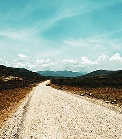 Landscape scene in Kisima Ward, Same District | |
| Nickname: The Well | |
| 4°4′10.56″S 37°44′40.92″E / 4.0696000°S 37.7447000°E / -4.0696000; 37.7447000 | |
| Country |  Tanzania Tanzania |
| Region | Kilimanjaro Region |
| District | Same District |
| Area | |
| • Total | 20.2 km2 (7.8 sq mi) |
| Elevation | 984 m (3,228 ft) |
| Population (2012) | |
| • Total | 9,885 |
| • Density | 490/km2 (1,300/sq mi) |
Kisima is an administrative ward in Same District of Kilimanjaro Region in Tanzania. The ward covers an area of 20.2 km2 (7.8 sq mi),[1] and has an average elevation of 984 m (3,228 ft).[2] According to the 2012 census, the ward has a total population of 9,885.[3]
References
- v
- t
- e
Same District
Capital: Same
- Bangalala
- Bombo
- Bendera
- Bwambo
- Chome
- Hedaru
- Mabilion
- Kihurio
- Kirangare
- Kisiwani
- Makanya
- Maore
- Mhezi
- Mpinji
- Mshewa
- Msindo
- Mtii
- Mwembe
- Myamba
- Ndungu
- Kalemawe
- Njoro
- Vumari
- Ruvu
- Same
- Kisima
- Steshen
- Suji
- Vudee
- Vuje
- Vunta
- Lugulu
South Pare Mountains
- Pangani
 | This Kilimanjaro Region location article is a stub. You can help Wikipedia by expanding it. |
- v
- t
- e


